Remote sensing and GIS
Satellite data turned into practical answers about land, water and vegetation, without the cost of a field campaign.
What we use
We work mostly with high-quality satellite imagery that is freely available. That keeps data costs low and means the results can be repeated and checked.
What we use it for
- Vegetation analysis
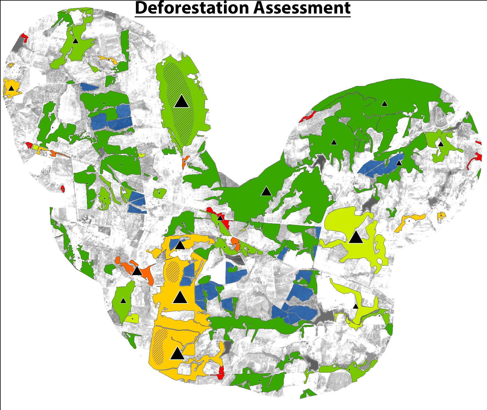
- Deforestation monitoring
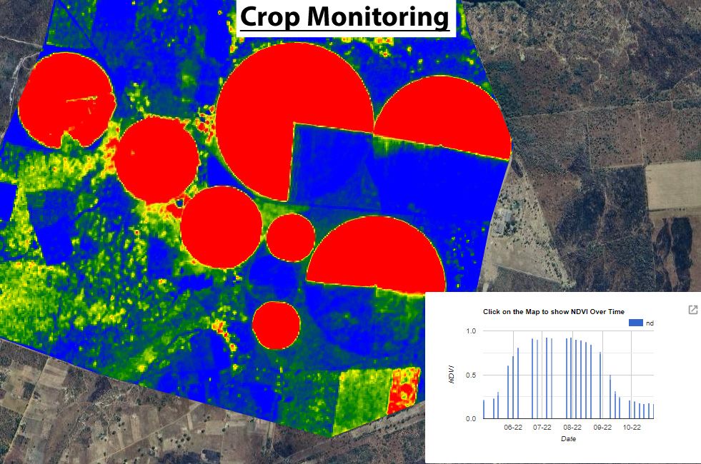
- Agricultural assessment, including crop condition on irrigated land
- Forestry assessment
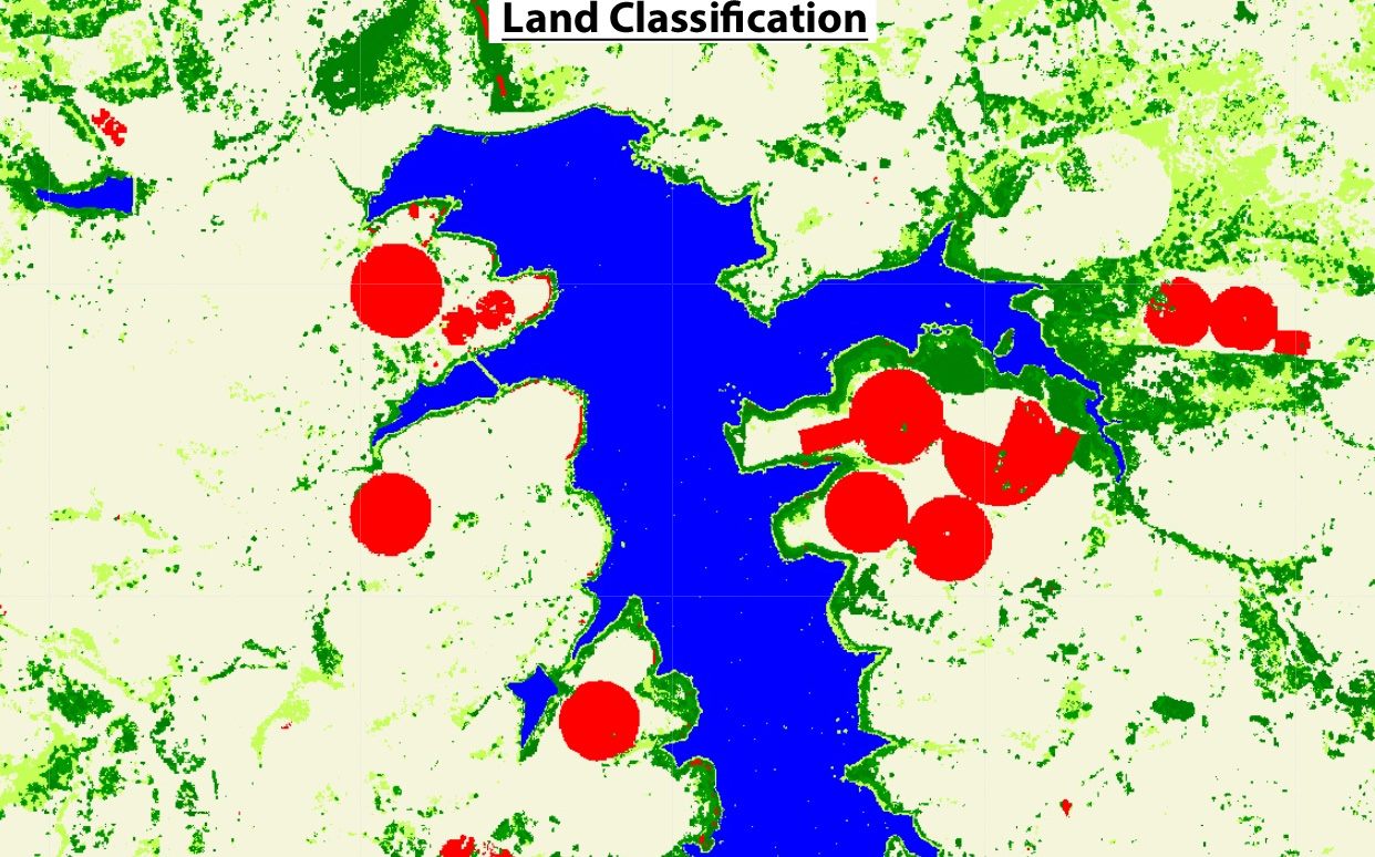
- Land classification around dams and other water bodies
Straight about the limits
Satellites can't measure everything. We tell you plainly what can be measured reliably from space and what can't, so you don't base a decision on something the data can't support.
Quick turnaround
The processing is done in the cloud, so we can work through large areas and long time series quickly. That keeps the work affordable and lets us repeat it as often as you need.
Have a land or water question a satellite could help with?
Describe the area and what you need to find out. We will say whether remote sensing is the right tool.