
Bathymetric surveys
Measuring the bed of a dam or river basin, so that storage volumes come from real measurements.
Surveys that have been done many times before
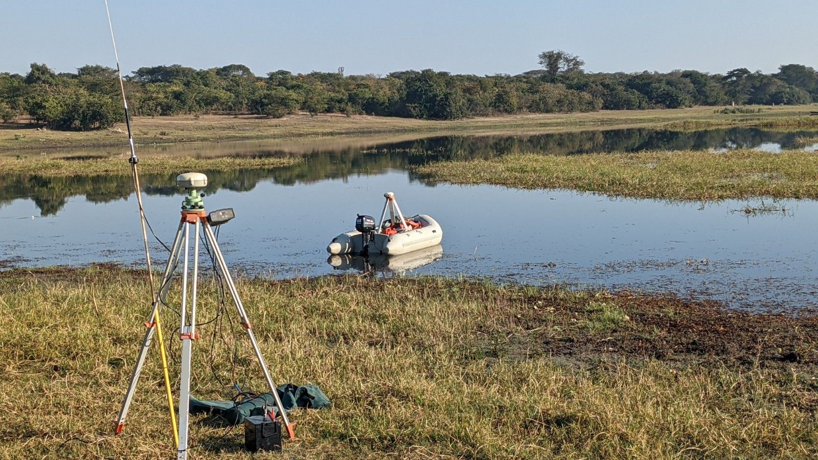
We carry out bathymetric surveys of dams across Zimbabwe, Zambia and the wider region. We have surveyed more than 80 dams and river basins across Africa over 20 years. That experience is why we can do the work efficiently and at a sensible cost.
How we survey
We combine bathymetric methods, which measure the underwater bed, with topographic methods for the parts of the basin that are exposed when the water level is low. We then combine the two datasets into one seamless model of the whole dam basin.
Who uses it
Farms, mines, town planners and infrastructure teams use survey results to manage water better, assess risk and support investment decisions.
What you get
- A measured picture of the basin, not an estimate
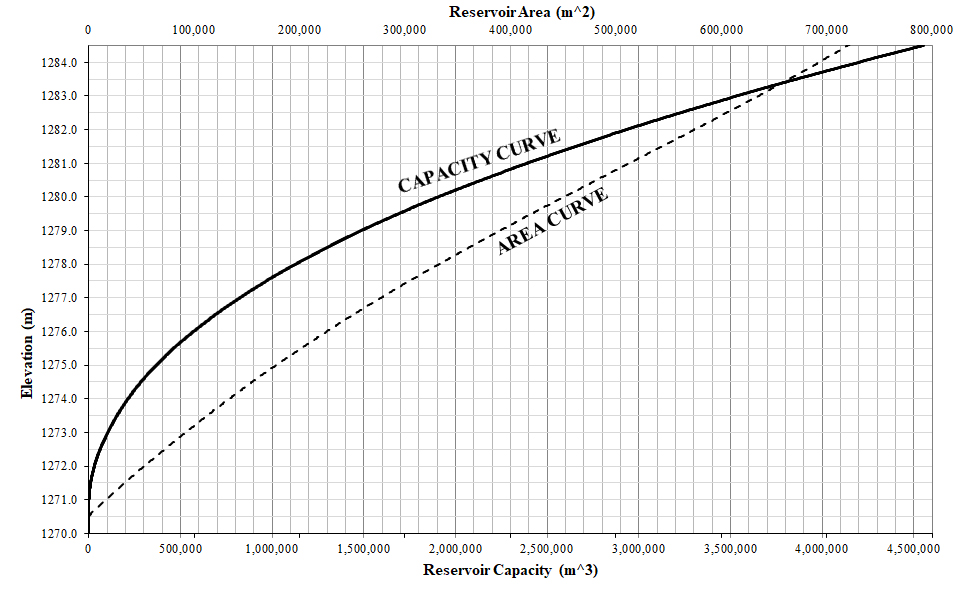
- Capacity and area curves, showing how storage changes with water level
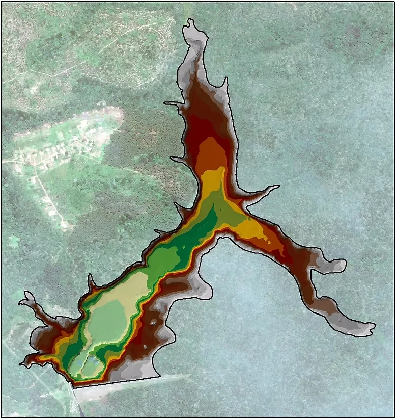
- Maps of the basin you can use in design and planning
If a full survey is more than you need, satellite elevation data may be enough.
Basin surveys before a dam is built
We also survey the basins of dams that have not been built yet, to help assess whether they are feasible and to support design work and regulatory applications. At this stage the survey is topographic. We measure the ground itself, on site, so every point can be traced back to a measurement. The dam's design and its storage volume depend on those heights.
Drones can cover a basin quickly, but they tend to record the top of the vegetation rather than the ground, and it is hard to check how their results were produced. For heights the design will rely on, a measured survey is the safer basis.
Need a dam or basin surveyed?
Tell us where it is and what you need the results for, and we will talk through the options.