
Satellite elevation data
A faster, cheaper alternative to a full ground survey, where it is accurate enough for the job.
Why use it
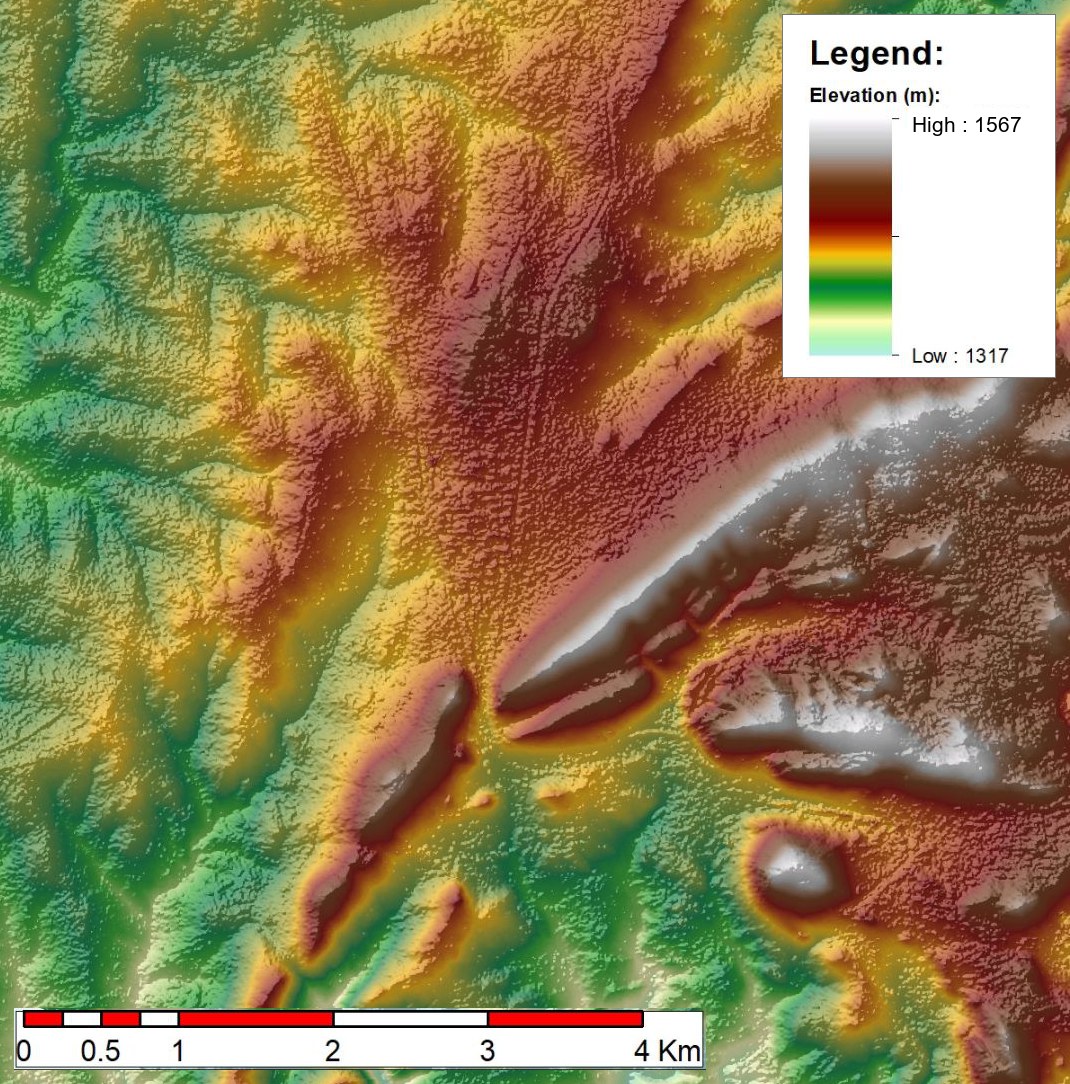
A conventional survey gives excellent results, but it takes time and money, and early in a project you may not need that level of detail yet. Elevation data from satellites covers large areas at a much lower cost.
How accurate is it?
We have checked satellite elevation data against on-site measurements on a number of sites and found it to be good. The exception is dense vegetation, where we have seen some discrepancies, because the satellite may be measuring the top of the vegetation rather than the ground.
So if your site is open or lightly vegetated, satellite data is often all you need. If it is heavily wooded, we will tell you up front how much to trust it, and whether a survey makes more sense.
Where it helps
- Early planning and options studies
- Comparing sites before committing to a field survey
- Cutting survey costs where the accuracy allows
When a survey is the better choice
If the numbers will drive final design or storage calculations, or the site is densely vegetated, a measured survey is the safer route. We do those too: see bathymetric surveys.
Not sure if satellite data will be accurate enough?
Send us the site and what you need to do with the data. We will tell you honestly whether it will work.